
Walk Details
- Distance: 9.7 km (6 mi)
- Difficulty: Moderate
- Minimum Duration: 3 hrs
- Refreshments: Pub Cafe
- Start Grid Ref: SK 24007 74721
- W3W: newly.spreading.slant
- Elevation Gain: 293m (961ft)
- Route: Download .gpx file
About difficulty
- Easy: Mostly flat terrain, suitable for beginners and families.
- Moderate: Some hills and uneven ground, requires a basic level of fitness.
- Hard: Steep climbs, rough terrain, suitable for experienced walkers with good fitness.
Start Point
Sough Lane, Calver, S32 3XH. Free parking is available on Sough Lane, Calver, S32 3XH.
Weather
Derbyshire, UKRoute Map
Directions
Safety First
Each route offers an overview only. Always carry a map and compass and know how to use them. Plan ahead, use common sense, and expect some risk. GPX files are recommended for support, but don’t rely on them as devices can fail. Actual distances are often longer than stated.
Thoughts on this route? Comment below or let us know via the form.
Download Route File (.gpx)- From Sough Lane in Calver, head south past the traditional-style lamppost, then turn right to ascend up High Street.
- At the end of the road, cross Hassop Road and go over the stile opposite to begin the ascent up the hillside.
- The grassy path leads to a track. Follow the track for around 250m.
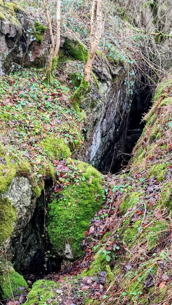
- As the track bends right, continue straight onto the grassy path leading into North Cliff Plantation. Catsall Rake sits at the edge of the plantation – historically very important, they are likely to have been worked by William Humfrey of the Company of Mineral and Battery Works around 1580, smelting the lead at Beauchief in Sheffield
- Walk through the plantation, then across a grassy path until you reach another track.
- Turn right and continue on the track, uphill, for about 450m, passing a quarry on your left.
- At the T-junction, leave the track and head through the gate on the left towards a small quarry. In this region, deep Rake, with High Rake and Watersaw Rake are one of the largest mineralised zones in the orefield
- Pass the quarry, turn right, and continue west across a grassy bank for about 300m, enjoying wide views across the Peak District to your left.
- Head through the gate at the end. Turn left, cross the cattle grid and follow the single track road south-west for around 750m. Opposite the gate is a dyke – a double ditch and bank earthwork. It occupies a defensive or demarcatory position across the ridge on the edge of the limestone plateau. Additonally, half way along the track, up a track to the right is Beacon Quarry and Lime Kiln – a good example of small scale quarrying and lime burning
- After the cattle grid, take the stile on the right, leaving the road. Continue for about 400m.
- Cross two stiles across a path and carry on west along Longstone Edge. The path turns to a more defined track. Look out for mine workings at a large shaft along this section
- Eventually, the track meets a road. Turn right and ascend up to pass High Rake. Up left off the road is a broken trig point
- After the quarry, go through the gate on the left, then immediately turn right over a stile.
- Follow the path downhill for about 1.5 km until you reach a track. Look out for Muse Mine shaft on the left, with good gining and adjacent gin circle
- Continue down, retracing your earlier steps back into Calver.
Gallery/Video


Created: 10/09/25. Updated: 28/01/26